
Tee lahjoitus
Topografinen kartta Ruth
Napsauta karttaa nähdäksesi korkeus.
Tee lahjoitus
Ruth
Ruth is a census-designated place (CDP) in Trinity County, California.[2] Ruth is located in the southern portion of the county. The community - and adjacent Ruth Lake - was named after Ruth McKnight, daughter of settlers. The ZIP code is 95526.[3] The community is inside area code 707. It is located near the headwaters of the Mad River (California) and adjacent to the Yolla Bolly-Middle Eel Wilderness. Ruth sits at an elevation of 2,933 feet (894 m).[2] Its population is 254 as of the 2020 census, up from 195 from the 2010 census.
Tee lahjoitus
Tietoja tästä kartasta
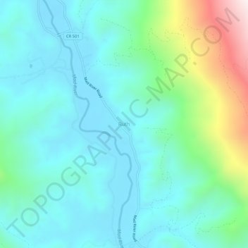
Nimi: Topografinen kartta Ruth, korkeus, helpotus.
Paikka: Ruth, Trinity County, California, United States (40.24959 -123.34141 40.28959 -123.30141)
Keskimääräinen korkeus: 996 m
Minimi korkeus: 814 m
Maksimi korkeus: 1 666 m
Tee lahjoitus
Muut topografiset kartat
Napsauta karttaa nähdäksesi sen topografian, sen korkeus ja sen helpotuksen.
Whiskeytown-Shasta-Trinity National Recreation Area - Trinity Unit
United States > California > Trinity County
Keskimääräinen korkeus: 1 149 m
Tee lahjoitus