
Tee lahjoitus
Topografinen kartta Gran Chaco
Napsauta karttaa nähdäksesi korkeus.
Tee lahjoitus
Gran Chaco
Large tracts of the central and northern Chaco have high soil fertility, sandy alluvial soils with elevated levels of phosphorus, and a topography that is favorable for agricultural development. Other aspects are challenging for farming: a semiarid to semihumid climate (600–1300 mm annual rainfall) with a six-month dry season and sufficient fresh groundwater restricted to roughly one-third of the region, two-thirds being without groundwater or with groundwater of high salinity. Soils are generally erosion-prone once the forest has been cleared. In the central and northern Paraguay Chaco, occasional dust storms have caused major topsoil loss.
Tee lahjoitus
Tietoja tästä kartasta
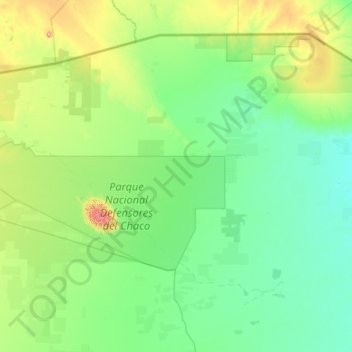
Nimi: Topografinen kartta Gran Chaco, korkeus, helpotus.
Keskimääräinen korkeus: 166 m
Minimi korkeus: 88 m
Maksimi korkeus: 804 m
Tee lahjoitus