
Tee lahjoitus
Topografinen kartta Paskenta
Napsauta karttaa nähdäksesi korkeus.
Tee lahjoitus
Paskenta
Paskenta (Wintun: Paskenti) is a small unincorporated town in Tehama County, California. Historically, it had greater local importance due to the presence of an active lumber mill. The ZIP Code is 96074. The community is inside area code 530 and the Paskenta CDP. Paskenta sits at an elevation of 725 feet (221 m). The 2010 United States census reported Paskenta's population was 112. Paskenta was originally inhabited by a tribe of Nomlaki people who are now part of the federally-recognized Paskenta Band of Nomlaki Indians.
Tee lahjoitus
Tietoja tästä kartasta
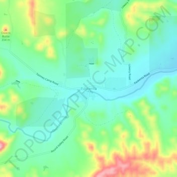
Nimi: Topografinen kartta Paskenta, korkeus, helpotus.
Paikka: Paskenta, Tehama County, California, 96074, United States (39.86429 -122.56697 39.90429 -122.52697)
Keskimääräinen korkeus: 268 m
Minimi korkeus: 213 m
Maksimi korkeus: 389 m
Tee lahjoitus
Muut topografiset kartat
Napsauta karttaa nähdäksesi sen topografian, sen korkeus ja sen helpotuksen.