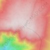
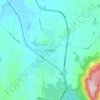
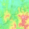
Topografinen kartta Anglesea
Napsauta karttaa nähdäksesi korkeus.
Tietoja tästä kartasta

Nimi: Topografinen kartta Anglesea, korkeus, helpotus.
Paikka: Anglesea, Victoria, 3230, Australia (-38.43737 144.08715 -38.32138 144.23425)
Keskimääräinen korkeus: 60 m
Minimi korkeus: -50 m
Maksimi korkeus: 181 m
Muut topografiset kartat
Napsauta karttaa nähdäksesi sen topografian, sen korkeus ja sen helpotuksen.

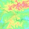
Ballarat
Ballarat has a moderate oceanic climate (Köppen climate classification Cfb) with four distinct seasons. Its elevation, ranging between 400 and 630 metres (1,310 and 2,070 feet) above sea level, causes its mean monthly temperatures to tend to be on average 3 to 5 °C (5 to 9 °F) below those of Melbourne,…
Keskimääräinen korkeus: 470 m


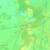
Melbourne
Melbourne is also prone to isolated convective showers forming when a cold pool crosses the state, especially if there is considerable daytime heating. These showers are often heavy and can include hail, squalls, and significant drops in temperature, but they often pass through very quickly with a rapid…
Keskimääräinen korkeus: 49 m


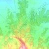
Ballarat
Ballarat has a moderate oceanic climate (Köppen climate classification Cfb) with four distinct seasons. Its elevation, ranging between 400 and 630 metres (1,310 and 2,070 feet) above sea level, causes its mean monthly temperatures to tend to be on average 3 to 5 °C (5 to 9 °F) below those of Melbourne,…
Keskimääräinen korkeus: 470 m
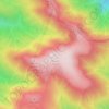





















Buffalo Plateau
The summit of the highest peak of the plateau, known as The Horn, has an elevation of 1,723 metres (5,653 ft) AHD.
Keskimääräinen korkeus: 1 502 m